 by CJ Goater
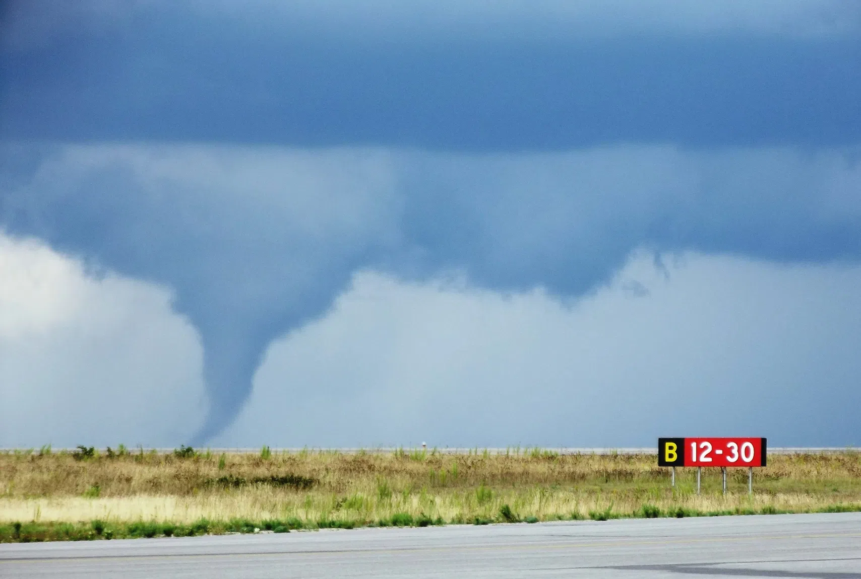
An early summer storm is bringing the potential of tornadoes and hail to the region.
Environment Canada issued tornado watches for the following municipalities on Sunday:
- Kenora
- Grassy Narrows
- Whitedog
- Fort Frances
- Emo
- Rainy River
- Dryden
- Vermilion Bay
- Atikokan
- Shebandowan
- Quetico Park
- Ignace
- English River
- Seine River Village
- Mine Centre
- Sioux Narrows
- Nestor Falls
- Morson
The forecaster says weather conditions are favourable for the potential development of severe thunderstorms, which could produce tornadoes, large hail and rain.
The rainfall is expected to be heavy, and the hail could reach tennis ball-sized according to Environment Canada.
“While there will be a severe thunderstorm risk early this (Sunday) afternoon, the tornado threat is expected to materialize late this afternoon and persist through the evening hours,” said the forecaster in the weather watch update. “This is a dangerous and potentially life-threatening situation. Be prepared for severe weather. Take cover immediately if threatening weather approaches.”
Take recommended precautions when required.
In the event of a tornado or if a tornado warning is issued for your area, it is recommended that you go inside to a room on the lowest floor, away from outside walls and windows, such as a basement, bathroom, stairwell or interior closet.
Leave mobile homes, vehicles, tents, trailers and other temporary or free-standing shelters, and move to a strong building if you can.
Emergency Management Ontario recommends that you take cover immediately if threatening weather approaches.
The weather system is concentrated over the west side of the region.
Thunderstorm watches have been issued further east in Thunder Bay and Nipigon.
Tornado watches are issued when atmospheric conditions would allow the potential development of thunderstorms that could produce tornadoes.