
 by Alex Allan
A pair of weather systems is expected to bring heavy snow, strong winds and reduced visibility over the next few days, according to Environment Canada.
The agency reported that a developing winter storm could drop 15 to 25 centimetres of snow from Sunday night through Tuesday morning.
Northeasterly wind gusts of 50 to 70 kilometres an hour are expected on Monday.
Environment Canada noted that the storm’s track remains uncertain, but significant snowfall is possible across much of the province.
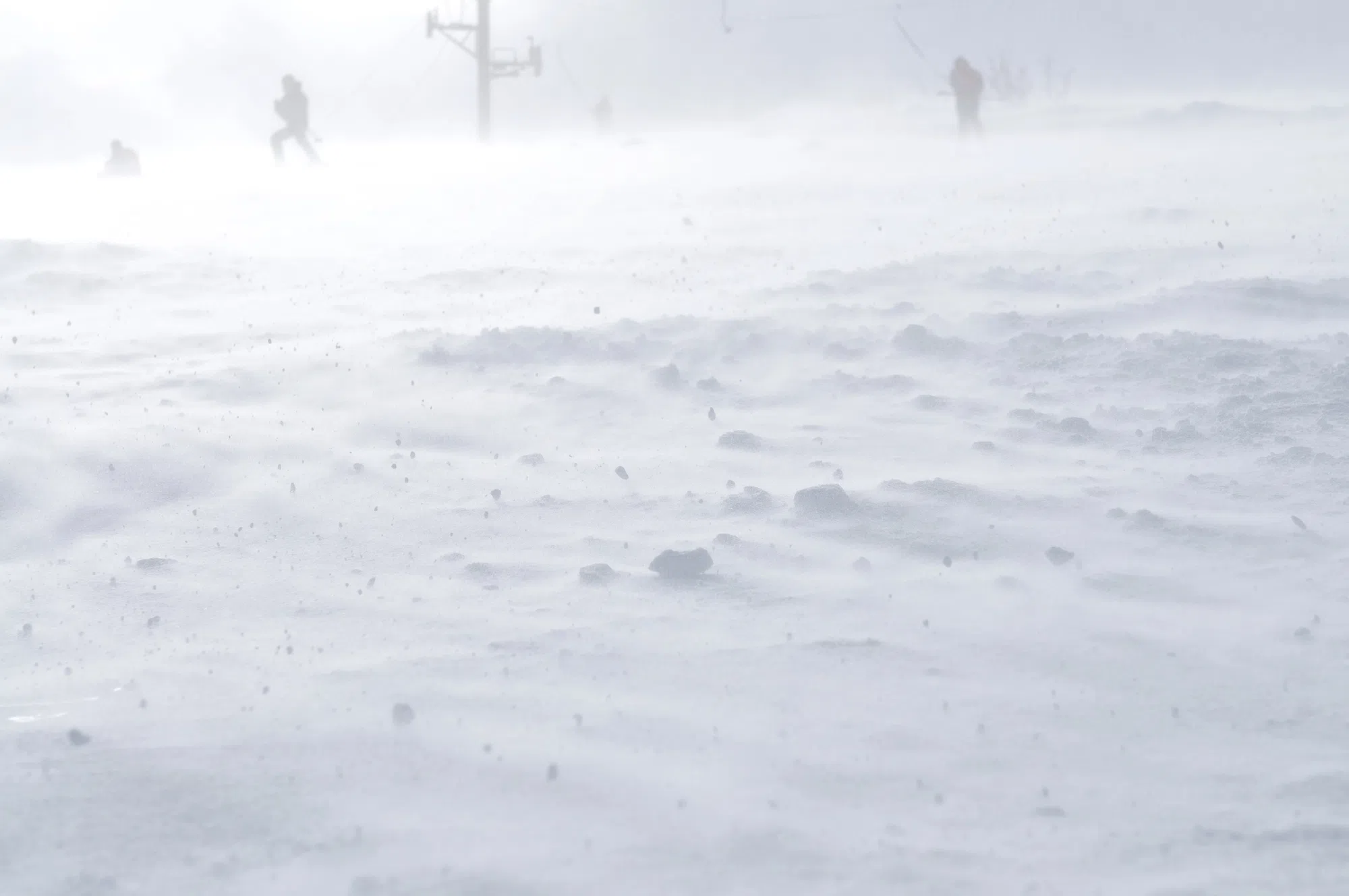
The agency said blowing snow may make travel slow or hazardous, and it is advising people to plan ahead in case schools or activities are cancelled.
Snow squalls are also expected to form under a cold northwesterly flow of arctic air.
Environment Canada indicated that the squalls could bring up to five centimetres of snow from Saturday morning through Sunday morning, along with northwesterly gusts of 60 to 70 kilometres an hour.
Visibility may drop to near zero under the heaviest bands.
The agency noted that snow squall watches are issued when localized, intense snowfall with rapid accumulation and reduced visibility is possible.
Travellers are being urged to use caution during both events.